The Waikato is the fourth largest region in New Zealand, covering 25,000 square kilometres. It stretches from the Bombay Hills and Port Waikato in the north down to the Kaimai Ranges and Mt Ruapehu in the south, and from Mokau on the west coast across to the Coromandel Peninsula in the east.
We have one city (Hamilton) and 10 districts, three of which lie across the regional boundary.
In 2006, 382,716 people lived in the Waikato region – about three quarters of them in urban areas1. Our region contains:
- the longest river in New Zealand (the Waikato River)
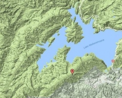
- the largest lake (Lake Taupō)
- internationally significant wetlands
- the country’s most important geothermal systems
- extensive native and exotic forests, and
- Tongariro National Park.